
Onondaga County ZIP Code Directory Coverage
The Census 2020 relationship file identifies 58 ZCTAs with an overlap in Onondaga County. That is a reproducible geographic index, not a USPS delivery directory and not a complete row-by-row list of post-office labels. The official county sources reviewed did not establish a postal city or municipality assignment for every row. The groups below therefore preserve the Census evidence without inventing areas, post offices, or delivery claims.
| ZIP / ZCTA group | Areas or overlap | Post office or live check | Notes |
|---|---|---|---|
| 13020, 13021, 13027, 13029, 13030, 13031 | Census ZCTA relation includes an Onondaga County overlap | Confirm a complete address through USPS | Not a postal-city assignment |
| 13035, 13037, 13039, 13041, 13051, 13052 | Census ZCTA relation includes an Onondaga County overlap | Confirm a complete address through USPS | May not cover only this county |
| 13057, 13060, 13063, 13066, 13069, 13077 | Census ZCTA relation includes an Onondaga County overlap | Confirm a complete address through USPS | Map and delivery boundaries differ |
| 13078, 13080, 13082, 13084, 13088, 13090 | Census ZCTA relation includes an Onondaga County overlap | Confirm a complete address through USPS | Do not infer a municipality |
| 13104, 13108, 13110, 13112, 13116, 13119 | Census ZCTA relation includes an Onondaga County overlap | Confirm a complete address through USPS | Postal label was not established here |
| 13120, 13122, 13135, 13138, 13141, 13152 | Census ZCTA relation includes an Onondaga County overlap | Confirm a complete address through USPS | Check current delivery live |
| 13153, 13158, 13159, 13164, 13166, 13202 | Census ZCTA relation includes an Onondaga County overlap | Confirm a complete address through USPS | ZIP alone is not a parcel key |
| 13203, 13204, 13205, 13206, 13207, 13208 | Census ZCTA relation includes an Onondaga County overlap | Confirm a complete address through USPS | County overlap is only a geographic clue |
| 13209, 13210, 13211, 13212, 13214, 13215 | Census ZCTA relation includes an Onondaga County overlap | Confirm a complete address through USPS | Do not treat as a city boundary |
| 13219, 13224, 13244, 13290 | Census ZCTA relation includes an Onondaga County overlap | Confirm a complete address through USPS | Small or special overlaps are possible |
Some ZIPs can cross county lines, have a small or noncontiguous overlap, or serve a PO-box or unique delivery purpose. The table does not claim that any listed ZIP belongs entirely to Onondaga County or that every address in it is deliverable. Note: Use the Census grouping for orientation and a live postal result for an actual address.
Census Overlap in Onondaga County ZIPs
A ZIP Code Tabulation Area, or ZCTA, is Census geography assembled from generalized census blocks. It is designed for statistical presentation. USPS ZIP codes are delivery constructs and can change with postal operations. The county relationship file says only that a ZCTA overlaps the county. It does not say that every address in that ZCTA lies in the county, nor does it establish a post office, city name, or service route for a particular residence.
Keep the three layers separate when recording a search: the Census ZCTA, the county map's generalized line, and the USPS result for the full street address. The county has the City of Syracuse, 19 towns, 15 villages, and the Onondaga Indian Reservation, so a mailing geography can cross the jurisdiction that holds an assessment or permit record.
Read the Onondaga County ZIP Map
County Planning publishes generalized ZIP and municipal maps for visual orientation. The county's January 2026 ZIP boundary map expressly cautions that it is approximate and is not an official USPS delivery map. It can help identify the map context of a place, but it should not decide a delivery ZIP, a legal boundary, or the office responsible for a record. Use a parcel and municipality check after looking at the map.
The Onondaga County Planning map gallery is the source represented in this view.
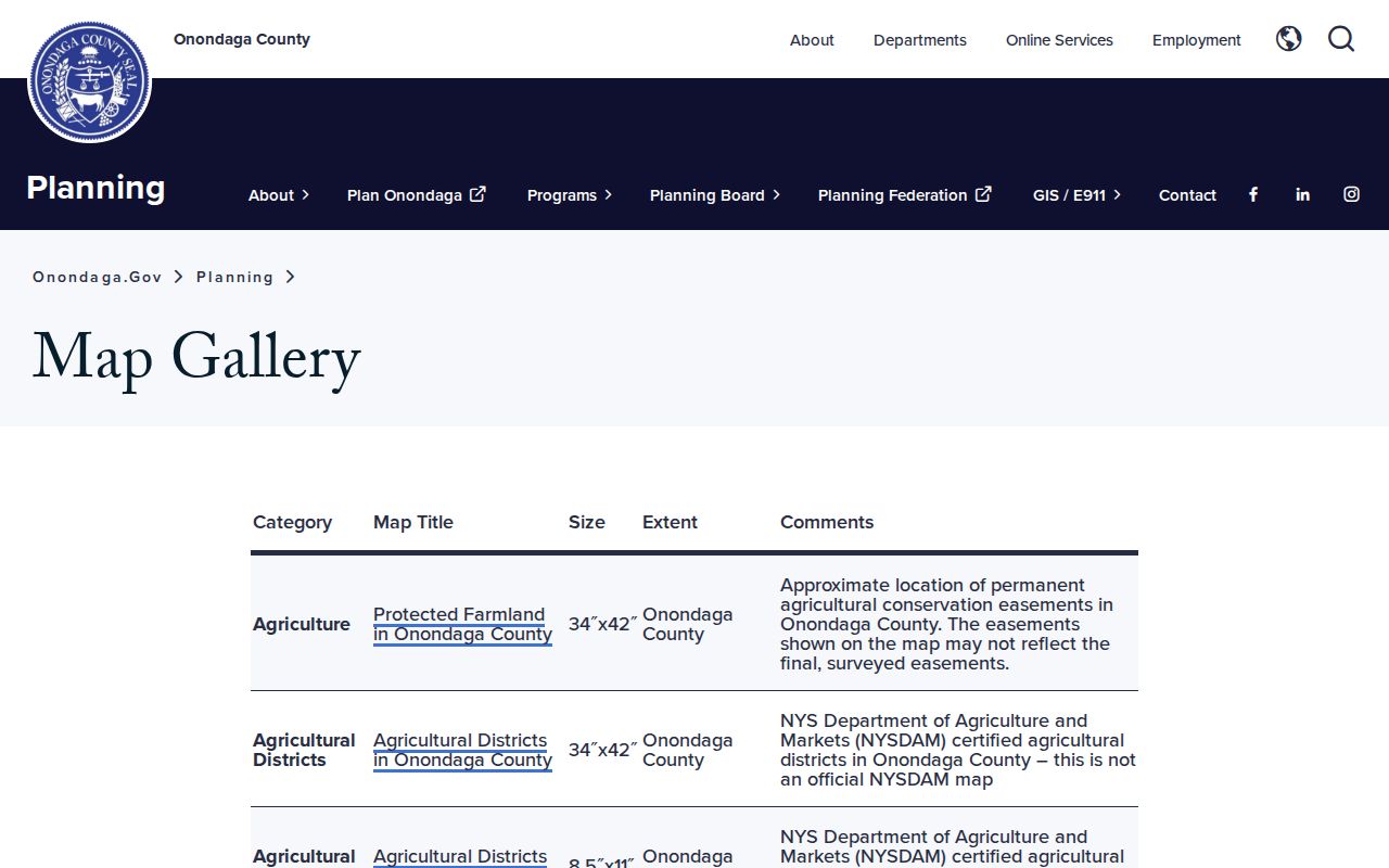
The gallery is useful for comparing county planning maps, but address-level delivery still needs a separate postal confirmation.
Verify an Onondaga County ZIP
Use the complete street address in the USPS address lookup before placing a ZIP beside an Onondaga County record. Include any direction, suffix, unit, and municipality shown on the address. Preserve the returned ZIP and ZIP+4, the date checked, and the original address string. If the postal result and county map disagree, do not average them. Record both and continue with the parcel or municipal source.
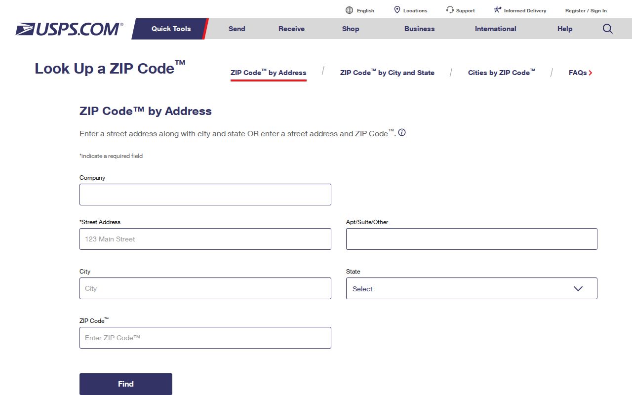
The USPS lookup is the live delivery check in the ZIP code directory workflow. It confirms a mailing result for an address, not the person connected to that address or the parcel's legal description.
Find Records by Onondaga County ZIP
A ZIP can narrow an address-first records search, but the major county property and GIS entry points documented here are address, owner/name, parcel, or geometry tools rather than confirmed ZIP-only browsing systems. Use the verified address to find the municipality, then search Image Mate or the county GIS viewer with the address or SBL. The next source depends on the question: a recorded transfer belongs with the County Clerk, while a Syracuse permit or parcel event belongs with the City portal.
- Check the full address with USPS and retain the postal result with its date.
- Identify the city, town, or village, then search Image Mate by address or parcel. Compare its situs and owner mailing fields rather than assuming the ZIP decides either one.
- Use the county GIS viewer to check parcel geometry, address labels, and map layers. The viewer supports address, owner-name, and geometry tools, but its parcel lines are not a legal survey.
- For a Syracuse location, use the city parcel and permit system by street number, street, city, SBL, or transaction reference. For land transfers, follow the County Clerk instrument trail.
- Use a voter lookup only when an individual is already identified and a lawful registration or poll-site question remains. It is not a ZIP-wide resident list.
Once the postal area has narrowed to a street, the Onondaga County street directory workflow follows the parcel, GIS, deed, and historical-address trail in greater detail.
Voter ZIP Fields in Onondaga County
The state voter lookup has a ZIP field, but it is not a ZIP-code directory or a browse tool for a postal area. It is designed for a registered voter's poll-site and registration-status question and requires identifying inputs. Cookies and JavaScript are required. The research did not establish a complete public result-field inventory, so preserve only the minimum lawful status or polling information the live system displays.
| Observed lookup field | How it is used | ZIP-related limit |
|---|---|---|
| County | Selects the local jurisdiction | Does not make a ZIP a county-only area |
| Last Name and First Name | Identifies the voter to search | A ZIP alone cannot replace identity fields |
| Date of Birth | Required in the documented lookup flow | Do not collect or display it unnecessarily |
| ZIP Code and address fields | Supports the address-specific lookup | Exact labels are partly JavaScript-rendered |
Election Law protects sensitive identifiers, and the state treats voter-file requests as purpose-limited. The New York election-data request guidance requires an elections purpose for the stated request route. It does not authorize publishing a list of people from a ZIP.
Onondaga ZIP Codes Versus Municipal Lines
A postal ZIP and a municipal boundary answer separate questions. A mailing city can cover a place outside that city's government limits, and a county ZIP can extend into another county. For Onondaga County records, use the verified address to identify the correct city, town, village, or county custodian. Then distinguish the property situs from an owner mailing address, service address, PO box, historical directory address, or protected substitute address.
County Planning's map is helpful for visual orientation, while the municipal assessor, City of Syracuse portal, or town record keeps the jurisdiction-specific record. A ZIP result is not enough to decide a parcel boundary, a city limit, or a record's legal custodian.
Define Onondaga County ZIP Terms
Postal and Census language can look interchangeable even when it is not. Using the terms correctly helps keep a ZIP code directory from turning an approximate map into an address claim.
- ZIP Code
- A USPS mailing and delivery code. Confirm it from a complete address rather than a county map.
- ZCTA
- A Census statistical approximation built from generalized blocks. It can overlap a county without matching USPS delivery geography.
- ZIP+4
- An added four-digit portion of a USPS code used for more precise mail sorting. It should be retained only when returned for the complete address.
- PO-box ZIP
- A code used for post-office boxes. It may not identify a physical property location.
- Carrier route
- A mail-delivery grouping used for routing. It is not a municipal boundary or a list of people.
Onondaga ZIP Dates and Record Roles
Every address record carries a different date and role. An assessment roll can lag or show an owner mailing field. GIS layers can have a different publication date and may appear only at a useful zoom. A recorded deed ties parties to an instrument date and a recording date. A historical directory reports what its publisher printed for that year. A ZIP check should therefore be saved as a postal-verification date, not used to overwrite another source's date.
The county's January 2026 ZIP map is a timely orientation source, while the ZIP relationship list is Census 2020 geography. These vintage differences are why an address trail should retain source URL, agency, field used, record date, and access date. Note: Keep owner, occupant, applicant, mailing, and historical roles separate when they appear in the same search.
Safe Use of County ZIP Codes
A ZIP is useful for organizing research, but it cannot establish current residence or justify exposing a private address. Use public sources for a specific lawful records question, minimize exact address details when they are unnecessary, and keep protected identifiers out of notes. A missing record is not proof that a person is absent, especially where portal coverage, spelling, municipality, or date may be different.
Privacy boundary. Do not use postal, parcel, voter, court, or directory clues to locate protected people or expose confidential addresses. Never use records to stalk, harass, intimidate, or make unwanted contact.
The New York Address Confidentiality Program uses a substitute mailing address for qualifying participants. Preserve that protection, and route corrections or record disputes to the agency that created the source record.