
Trace an Onondaga County Street Directory
An address-first check is strongest when each result is kept in its own lane. The assessment record can identify the assessed owner and parcel. The GIS viewer can place that parcel on the block. A recorded instrument can document a transfer. A historical directory can show what its publisher reported in a particular year. These are different facts, often from different dates. Onondaga County has no official countywide file that establishes every current resident, so a street-by-street result should be described as an owner, mailing, map, historical, or registration-status record rather than a conclusion about an entire household.
- Normalize the house number, street, unit, municipality, ZIP, and any known SBL. Preserve the original address string and label the date and source.
- Search Image Mate by address or parcel, then save the assessment owner, situs, and parcel reference without treating an assessment entry as occupancy proof.
- Open the same location in the Onondaga GIS viewer. Use parcel identify and address tools to compare adjoining geometry, map labels, and municipal context.
- Use the owner name, municipality, and approximate date to trace deeds or mortgages through the County Clerk. Separate grantor, grantee, mortgagee, and other roles in every instrument.
- Where a lawful election-purpose question remains, use the state voter lookup only for an eligible voter's registration or poll-site status. Then consult address-arranged directory volumes for a dated historical lead.
That chain, address to assessment to GIS to deed record to lawful voter-status check to historical directory, keeps the evidence visible. It also makes a negative result useful: a missing hit may reflect spelling, a municipality, timing, or a source boundary.
Image Mate on Onondaga County Streets
Real Property Tax Services points searchers to Image Mate for current assessment and tax information. The county cautions that information can be incomplete, not current, or not final until the assessment roll is final. Start with the address when it is known, then compare the entry to the applicable town assessor record. An address in a Syracuse mailing area can still fall outside the City of Syracuse, so municipality matters before reading a result.
The Image Mate Syracuse disclaimer is the source shown here and states the need to treat the parcel data cautiously.
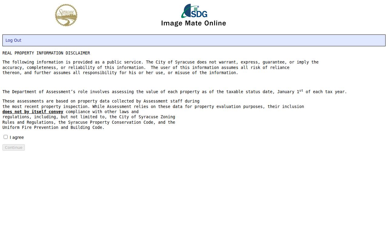
The acceptance screen is a useful reminder that an assessment display is a dated public record, not a complete street directory of current occupants.
Onondaga County Street Search Fields
Image Mate and the county GIS viewer answer different parts of the same address question. The assessment portal exposes the tax-record side. The GIS viewer exposes parcel geometry and map tools. Exact field labels can vary in Image Mate by municipal instance, and some GIS fields are rendered within the live viewer, so use the wording below as a research checklist rather than a promise of a fixed screen.
| Portal | Observed field or tool | Street-directory use | Limit |
|---|---|---|---|
| Image Mate | Owner/name | Locates an assessment-owner entry | Owner field is not proof of who is present |
| Image Mate | Address | Starts with a normalized property address | Check municipality and record date |
| Image Mate | Parcel/account | Links an address to tax-map identifiers | Punctuation and format can vary |
| County GIS viewer | Owner Name, Address, Find Address | Finds a parcel or map location | Layers can depend on zoom |
| County GIS viewer | Geometry, Measure Distance, Measure Area | Checks parcel placement and map context | Not survey-grade boundary evidence |
The county and town Image Mate search is pictured below. Use a parcel detail or linked image as a pointer for the next source, not as the final answer to a street-level question.
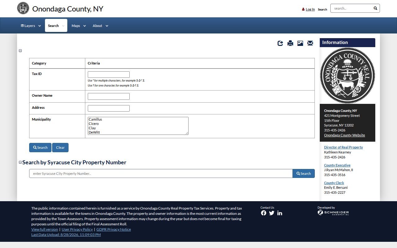
The property-search screen supports an address, owner/name, or parcel-led start. It does not turn the assessment roll into a current household list.
Read an Onondaga County Parcel Key
A parcel may carry more identifiers than its street address. The 2025 Cicero final-roll example includes an SBL, tax description, assessment values, exemptions, school district, special districts, deed book and page, and grid coordinates. Those fields describe tax and land-record context. They should not be used to infer household composition or a person's current location.
- Parcel
- A tax-map unit used to organize land and assessment information. It can be found by address, owner/name, or SBL depending on the local source.
- Situs address
- The physical property location shown in a land or assessment record. It can differ from an owner's mailing address.
- Plat
- A recorded subdivision or tract map that depicts lots and related land layout. It is not the same as a current survey.
- Criss-cross directory
- An address-arranged directory, often called a reverse directory, used to find a dated entry by street rather than by surname.
Preserve leading zeroes and punctuation in an SBL. The county's sample format is not a substitute for the street address, and neighboring parcels should never be assumed to share a household or history.
Match Address Records in Onondaga County
Different address-keyed sources answer different questions. A strong Onondaga County street directory check pairs a parcel with a recorded instrument, then labels the relationship correctly. The City of Syracuse also has a separate parcel and permit route. For records without a self-service result, use the named custodian, the historical repository, or a focused FOIL request for an existing record. Ask for record type, date range, municipality, and parcel or SBL instead of asking an agency to create a new street list.
| Address record | Custodian | What it can establish | Documented access route |
|---|---|---|---|
| Assessment roll and parcel card | Real Property Tax Services and town assessors | Assessment owner, situs, SBL, values, exemptions, districts, and deed reference | Image Mate, assessment rolls, then the local assessor for the current cycle |
| Parcel map | County Planning GIS | Parcel geometry, address label, map layers, and measurement tools | Online GIS viewer with PDF map export; zoom may affect layers |
| Deed, mortgage, satisfaction, or map | Onondaga County Clerk | Parties, instrument type, recording details, legal description, and prior chain | Clerk land-record access, copies, archival holdings, and in-person research |
| Registration or poll-site status | New York and Onondaga election offices | A limited voter-status question for an eligible voter | State lookup with required identity inputs, or election-purpose request under state rules |
| Syracuse parcel or permit activity | Syracuse Central Permit Office | Parcel, location, permit, application, or activity context | Public portal, Central Permit contact, or Syracuse FOIL for existing records |
A street name is only a search key. The SBL and legal description are stronger links between a tax record and land instrument, while the city, town, or village identifies the office that may hold the more current local record.
Follow Onondaga County Street Deed Trails
The County Clerk's mortgages and deeds service holds land records from 1794 forward. A deed records a transfer. A mortgage identifies the parties, principal amount, address, and legal description, but its amount is not a sale price and it may later be assigned, modified, or satisfied. Start with the parcel's owner and deed reference, then work backward through grantor and grantee entries. Record execution date and recording date separately.
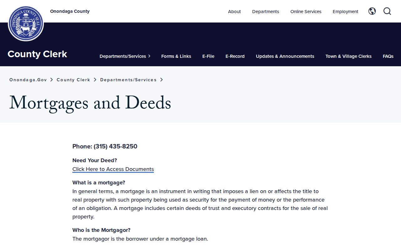
The Clerk access page is the entry point for the land-record trail. Older handwritten instruments can be hard to read, and the county's digitization project describes planned work rather than a guarantee that every older image is online.
When an online result stops short, the Clerk's archives and Photostat or microfilm holdings are the fallback for older material. A focused request should include both party names, municipality, approximate recording year, instrument type, and SBL when known. Copy charges are published by the Clerk and should be checked before ordering.
Syracuse Street Permits in Onondaga County
For a Syracuse address, the Syracuse parcel and permit search accepts street number, street, city, owner or business, SBL, right-of-way location or intersection, and permit, application, or transaction number. The City describes public property and code portal information as generally available from 2011. A permit can identify a location and an applicant or owner role, but those roles may be different from the current occupant.
The Central Permit portal supports applications, uploads, payment, and status tracking. It does not make every application field public. If a needed existing city record is unavailable through the portal, Syracuse's FOIL route can be used, but proprietary or restricted material remains outside ordinary self-service. Note: A permit entry is most useful when paired with its date, parcel, stated role, and the public source used.
Onondaga County Voter Status by Street
The New York voter lookup is a poll-site and registration-status tool, not an Onondaga County street directory. It asks for county, last name, first name, date of birth, and address or ZIP information, and it requires cookies and JavaScript. It is not a street-browse screen and no complete returned-field inventory was established in the research.
Election Law makes registration records public under Board supervision while protecting sensitive identifiers. For a lawful election-purpose request, the state requires an elections purpose and routes requests through its stated process. Do not infer voting behavior, build a household profile, or try to identify confidential registrations. The Onondaga County Board of Elections is the local routing point when the state tool does not answer an allowed question.
Historical Onondaga County Street Addresses
Historical sources are the fallback when a contemporary parcel result does not explain an older address. County Clerk Archives holds Syracuse directories from 1861 to the present and older materials on Photostat or microfilm. OCPL Local History & Genealogy holds Syracuse and suburban directories in print from 1936 forward, microfilm from 1862 to 1935, and fiche from 1844 to 1862. Its staff can search directory resources on request when given name variants, approximate dates, street or municipality, and a specific question.
Look for an address-arranged or criss-cross volume, then cite the directory title, year, page, entry text, and repository call number. A directory entry is an annual report by its publisher, not evidence of a current address. The historical holdings and citation method are covered in more depth by the Onondaga County city directory page.
Onondaga County Street Records Change
Land records span handwritten post-Revolutionary instruments through current electronic recording. The County Clerk's 2024 annual report recorded 275,003 land-record pages entered into the digital records database. The county's capital plan also describes work aimed at digitizing remaining mortgages from 1794 to 1950 and numerical deed and mortgage indexes from 1799 to 1986. That is an access-change project, not evidence that every older record can now be searched online.
Keep an access date with every street search. Image Mate, GIS layers, directory repositories, and Clerk systems may publish different vintages. County PropertyCheck is another useful safety tool: it sends an owner alerts when documents are recorded in that owner's name, but it is not a public owner lookup or a substitute for title review.
Limits of an Onondaga County Street Directory
No address source establishes a complete, current list of everyone at a location. An assessment owner may be different from an occupant. A deed names parties to a transaction, not necessarily a present household. A directory is historical, and a voter-status result is limited by its purpose and privacy rules. Mailing, situs, service, and protected substitute addresses are also different address types. Treat a result as direct only for the field and date shown.
Privacy boundary. Use Onondaga County address records for a specific lawful question, not to expose protected locations or assemble a dossier. Never use these sources to stalk, harass, intimidate, or make unwanted contact.
The New York Address Confidentiality Program and confidential voter registration protect qualifying people through separate processes. Do not combine parcel, court, directory, or family clues to defeat either protection. Note: When a result is unclear, label it as a historical lead, access-restricted result, or currentness unknown rather than forcing an answer.